Did you know
Island facts
Short, sourced and a bit obscure. One goes out on our social channels each day; the whole run lives here, with the source under each one.
-
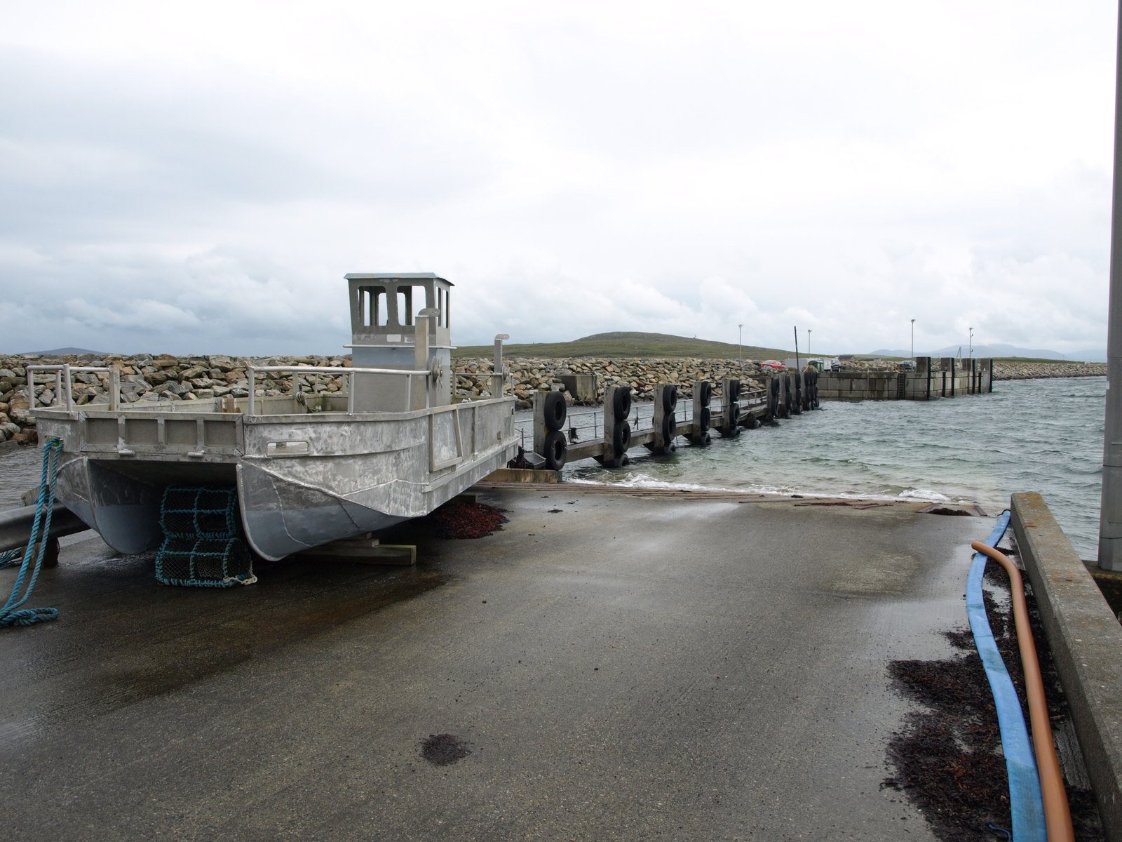
Photo Vanhercke Christiaan, CC BY-SA 2.0 1North UistA Viking ship burial lies beside the old Berneray ferry slipway
Otternish, six miles north of Lochmaddy on the B893, was the North Uist end of the Berneray ferry until the causeway was completed in December 1998 and the slipway went quiet. It is older ground than it looks. Ancient human remains were found there in 1870, and at a site fifty yards to the north a Viking ship burial was discovered in the early twentieth century.Source: Wikipedia: Otternish
-
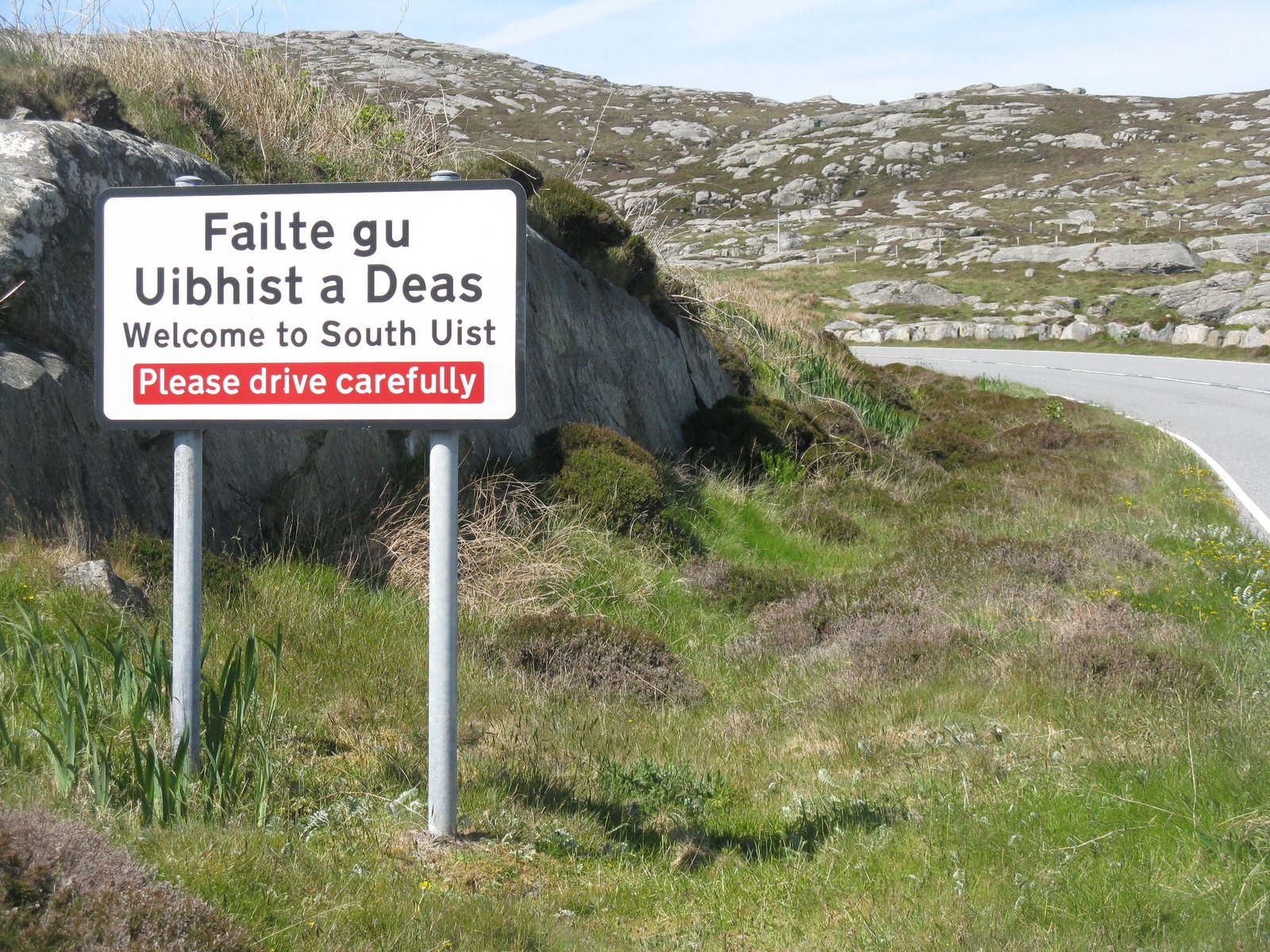
Photo M J Richardson, CC BY-SA 2.0 2BenbeculaA century ago every parish in Uist was over three-quarters Gaelic-speaking
Uist has always been among the most strongly Gaelic-speaking places in Scotland. In both the 1901 and 1921 censuses, all the parishes were reported to be over 75 per cent Gaelic-speaking. By 1971 Benbecula and South Uist were classed as 50 to 74 per cent. The 2001 census put Benbecula at 56 per cent overall, with the weakest area being Balivanich, home to the airport and the range, at 37 per cent. South Uist's people are known in Gaelic as Deasaich, the Southerners.Source: Wikipedia: Benbecula https://en.wikipedia.org/wiki/Benbecula Wikipedia: South Uist
-
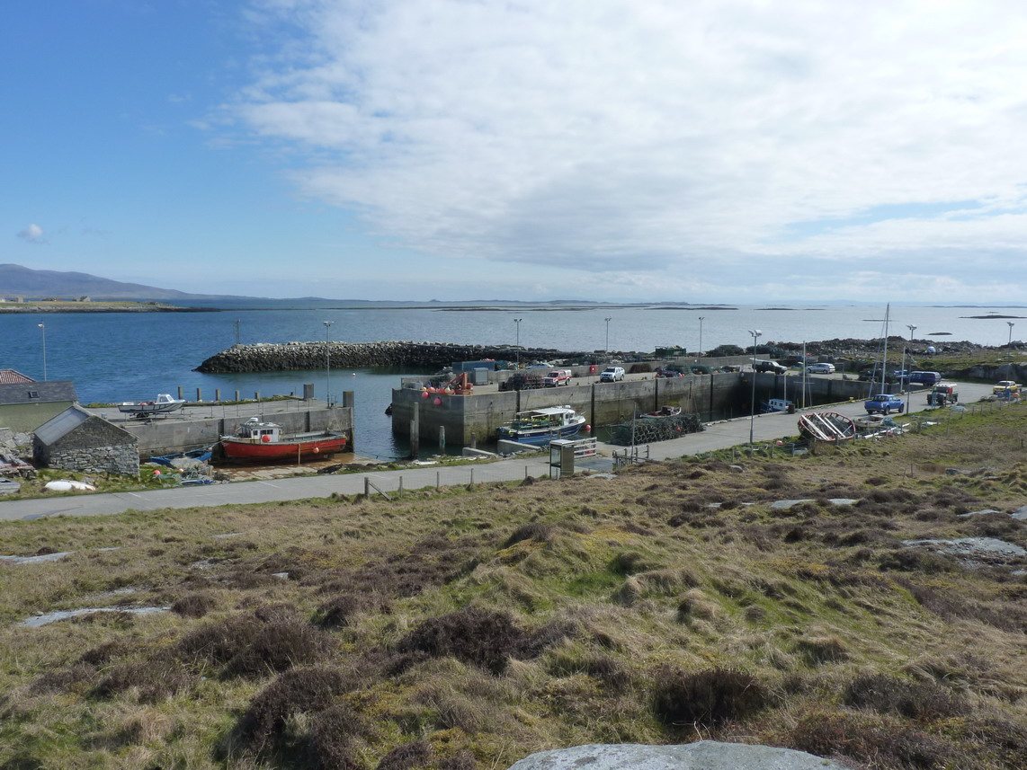
Photo Richard Law, CC BY-SA 2.0 3BernerayA cult folk album was written on a Berneray croft
Berneray attracts people who want to disappear for a while. The English singer Vashti Bunyan wrote much of her debut album Just Another Diamond Day while living in a croft on the island at the end of the 1960s; ignored on release in 1970, it was rediscovered thirty years later and is now a cult classic. The Scottish singer Fish, formerly of Marillion, owns a croft on Berneray and announced plans to move there permanently on retiring from music. Most people on the island still speak Gaelic, many as a first language.Source: Wikipedia: Berneray, North Uist
-
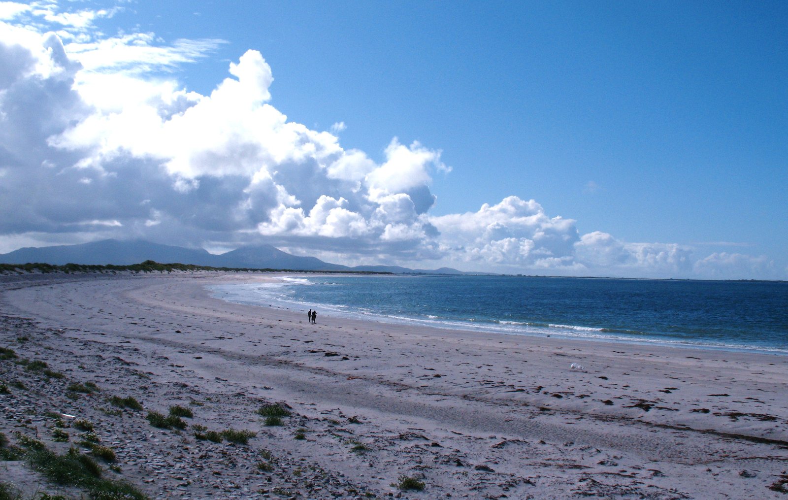
Photo Gordon Hatton, CC BY-SA 2.0 4BenbeculaA grizzly bear was loose on Benbecula for 24 days
Hercules was a trained grizzly owned by the Scottish wrestler Andy Robin. On 20 August 1980, while filming a Kleenex television commercial on Benbecula, he slipped away. Hundreds of volunteers searched for three days before the hunt was called off, though Robin kept looking on his own. On 13 September a crofter saw the bear swimming. He was darted, netted and flown back by helicopter, 15 stone lighter: raised on cooked food, he had refused to touch the island's sheep, cattle or wildlife. The escape made him famous around the world, and he went on to appear in Octopussy.Source: Wikipedia: Hercules (bear)
-
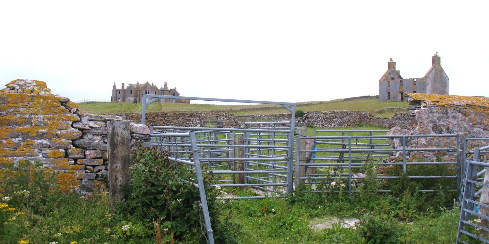
Photo Gordon Hatton, CC BY-SA 2.0 5North UistA linen millionaire built a mansion on a tidal island and dug up its past
Erskine Beveridge ran the largest linen manufacturer in Dunfermline, a company that was a world leader in fine linen. He also had a passion for the Hebrides. He bought Vallay, the tidal island off Sollas that can be reached on foot across the sands at low water, and built a large house there. From it he excavated many sites around Vallay dating from the first millennium BC to the first millennium AD, and published North Uist: Its Archaeology and Topography in 1911. He is regarded as one of the first and most significant archaeological excavators in the Outer Hebrides. The house is now a roofless ruin visible from the Sollas road.Source: Wikipedia: Erskine Beveridge https://en.wikipedia.org/wiki/Erskine_Beveridge Wikipedia: Vallay
-
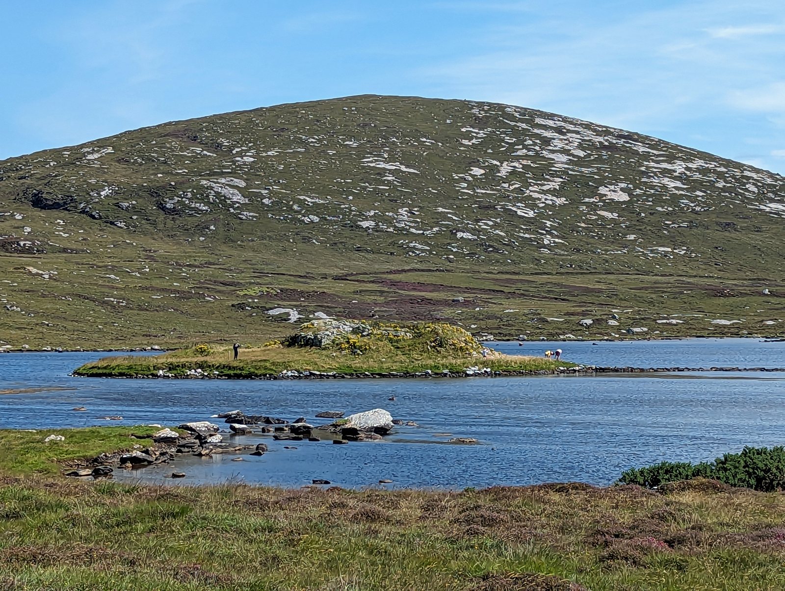
Photo PaulT (Gunther Tschuch), CC BY-SA 4.0 6North UistAn Iron Age broch reached by three causeways and an Island of Bad Counsel
Dùn an Sticir sits on a small island in a loch about six miles north of Lochmaddy. It was built as a broch in the Iron Age and was probably lived in through the Viking period. Three stone causeways cross the loch: one wide enough for carts leads to a larger island called Eilean na Mi-Chomhairle, the Island of Bad Counsel, and from there a curving causeway leads on to the broch. In 1602 Hugh MacDonald of Sleat, Ùisdean MacGilleEasbuig Chlèirich, was living in the medieval hall built inside the old broch walls.Source: Wikipedia: Dun an Sticir
-
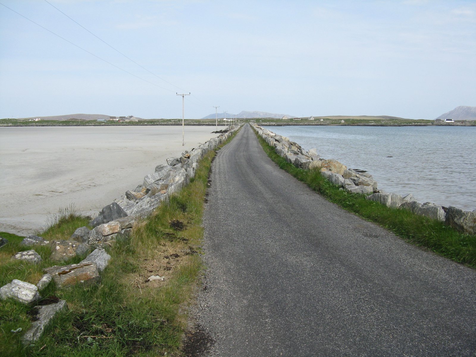
Photo M J Richardson, CC BY-SA 2.0 7North UistBaleshare's highest point is twelve metres above the sea
Baleshare, Baile Sear, is a tidal island west of North Uist, extremely flat even by Hebridean standards: its highest point is twelve metres. Its long sandy beach faces the Atlantic. A 350-metre causeway built by William Tawse Ltd in 1962 joined it to North Uist and revived the community. The name means 'east township'. The west township, Baile Siar, is said to have been swallowed by the sea, and the same storms that took it are said to have washed away a route across the sands to the Monach Isles.Source: Wikipedia: Baleshare https://en.wikipedia.org/wiki/Baleshare Wikipedia: Monach Islands
-
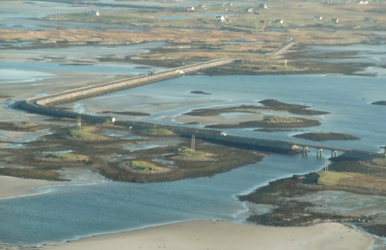
Photo W. L. Tarbert, CC BY-SA 3.0 8GrimsayBefore 1960 the North Ford was often too wet to walk and too dry to sail
The Oitir Mhòr, the North Ford, is the stretch of sand and shallows between North Uist and Benbecula. Before the five-mile causeway opened in 1960, crossing it meant a ferry from Carinish to Gramsdale that could only operate at high tide, or the ford itself, which could only be crossed close to low water and usually only with a guide who knew the route. For significant parts of each day it was too wet to ford and not wet enough to sail. The causeway runs across Grimsay's western tip, which is why the island is joined to both neighbours.Source: Wikipedia: Grimsay
-
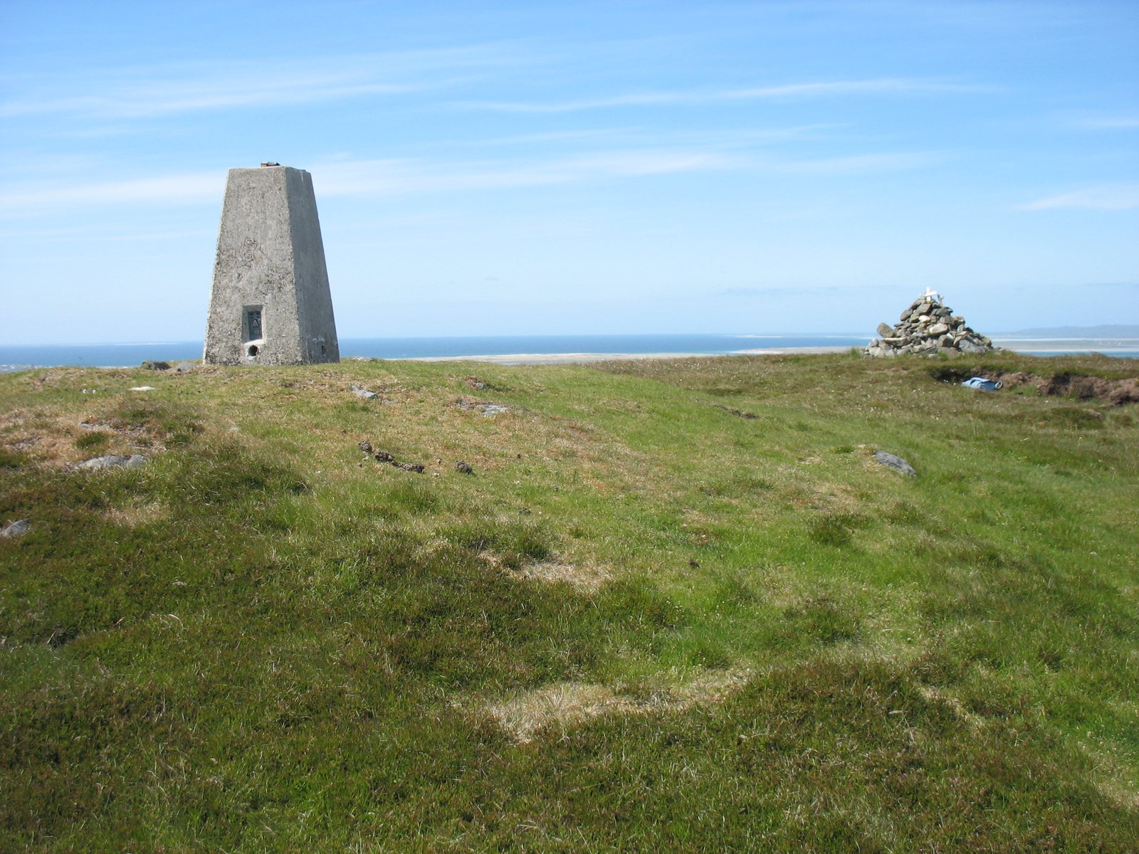
Photo David Purchase, CC BY-SA 2.0 9BenbeculaBenbecula is the mountain of the fords, and the dark island
The first written record of Benbecula's name is 'Beanbeacla' in 1449. The second part comes from the Norse vaðill, a ford, borrowed into Gaelic as fadhail: this is the island you reached by wading across the North and South Fords at low water. The 'mountain' is Rueval, 124 metres. In Gaelic poetry the island is An t-Eilean Dorcha, the dark island, the name the famous pipe tune took. Its main village, Balivanich, is Baile a' Mhanaich, the town of the monk.Source: Wikipedia: Benbecula
-
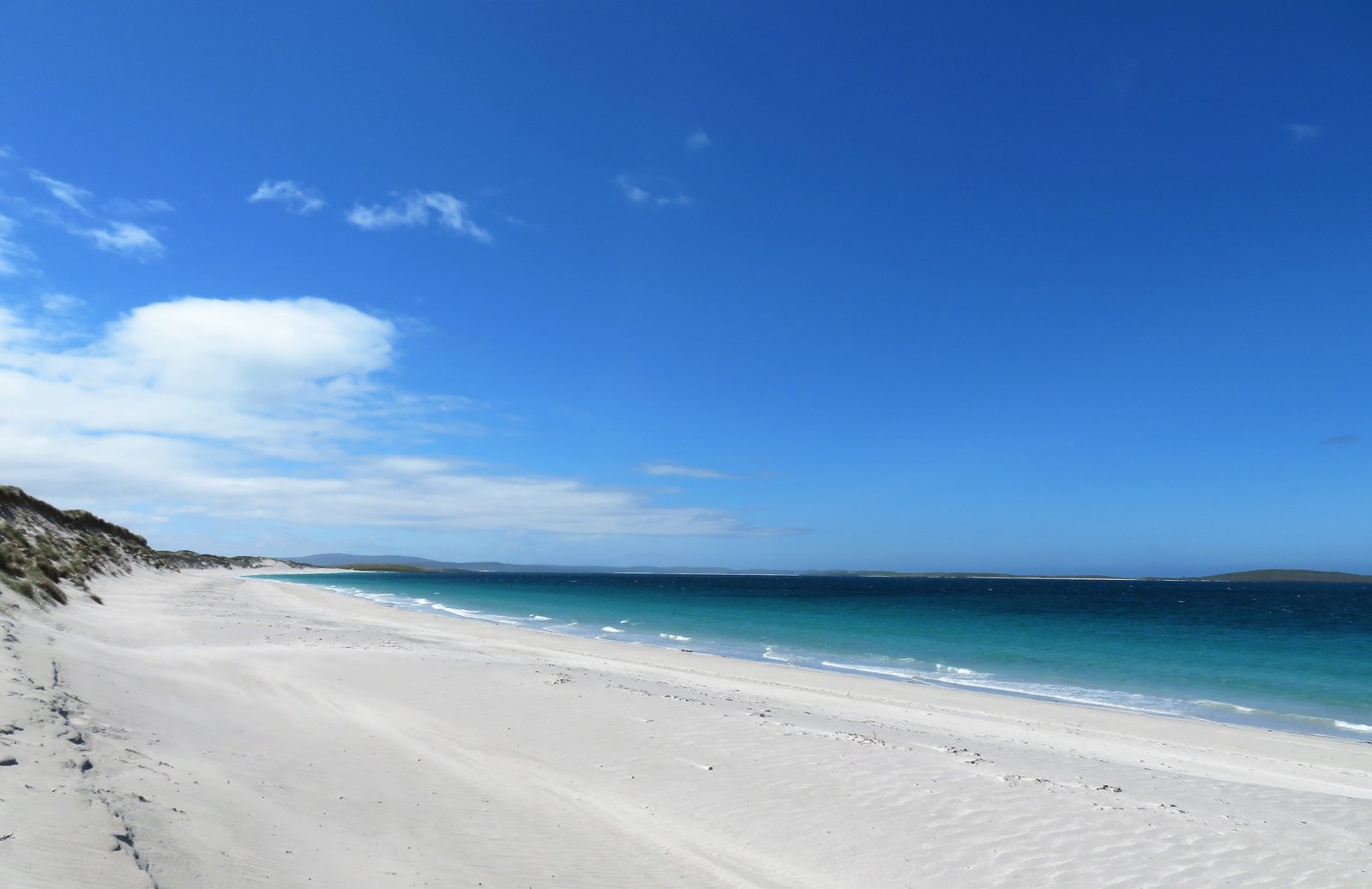
Photo Gordon Hatton, CC BY-SA 2.0 10BernerayBerneray's beach was used to advertise Thailand
Berneray's West Beach, three miles of empty shell sand on the Atlantic side of the island, is easily mistaken for somewhere tropical. In 2009 it was reported that a photograph of it had been used to advertise Kai Bae beach in Trat Province, Thailand. The sea temperature is the giveaway.Source: Wikipedia: Berneray, North Uist
-
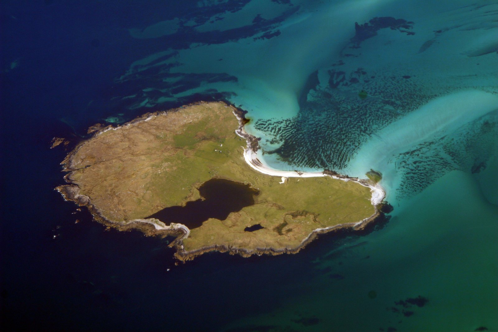
Photo Doc Searls from Santa Barbara, USA, CC BY-SA 2.0 11North UistBoreray is an island with a single croft
Boreray, Boraraigh, lies two kilometres north of North Uist in the Sound of Harris. Once home to a village, it now has a single croft, with its buildings in the north-east corner of the island. There are two Borerays in the Outer Hebrides. The other is the great gannet-covered rock of St Kilda, forty miles out into the Atlantic.Source: Wikipedia: Boreray, North Uist
-
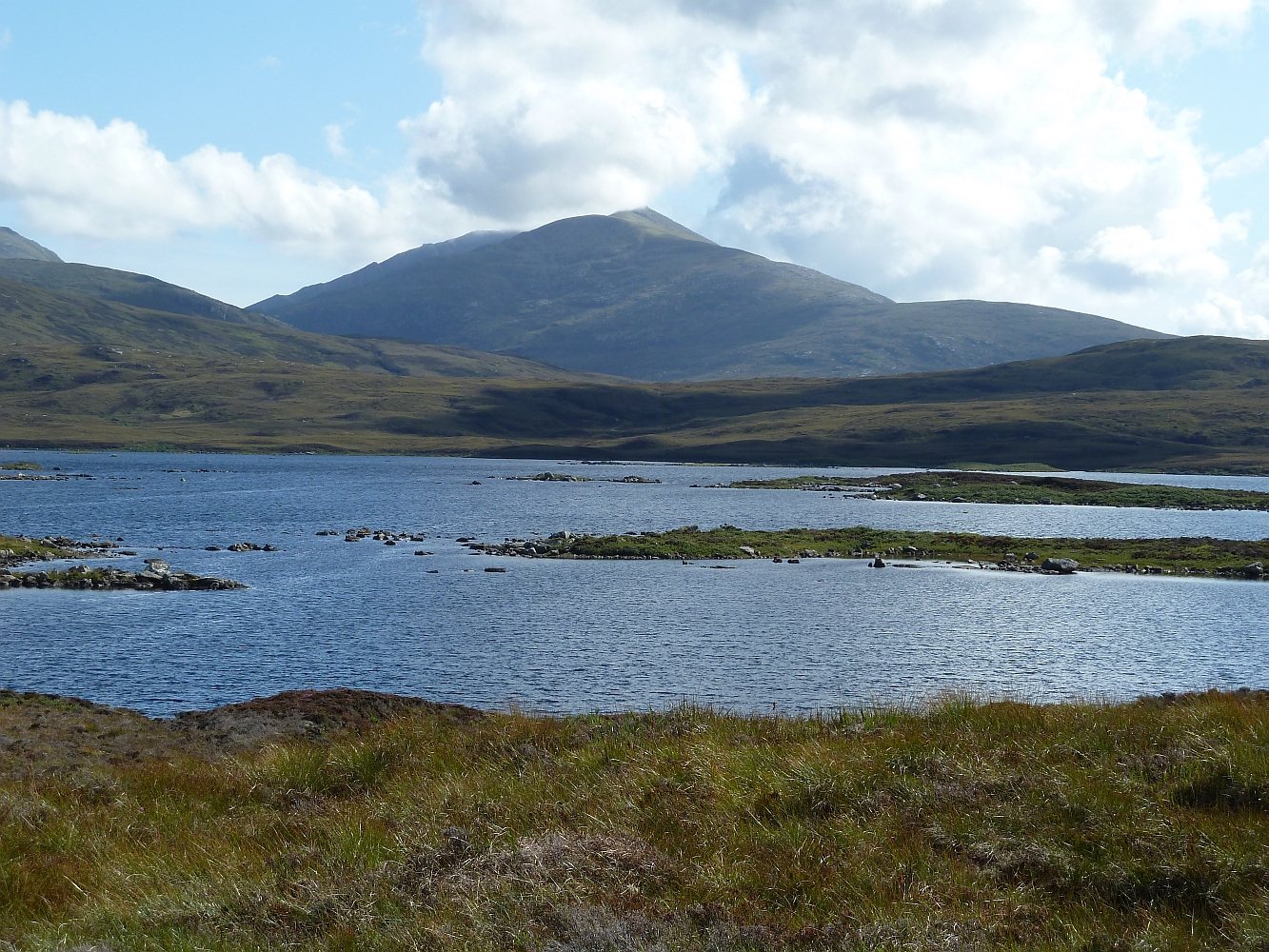
Photo Rob Farrow, CC BY-SA 2.0 12South UistBritain's most westerly mountain has the wrong name on the map
At 620 metres, Beinn Mhòr is the highest point on South Uist and the most westerly mountain in Scotland and Great Britain, with Hecla, 606 metres, close behind. The name on the map is Gaelic for 'big mountain'; the mountain's correct Gaelic name is Gèideabhal. On its southern slopes is Allt Volagir, one of the few patches of natural woodland left in the Hebrides. -
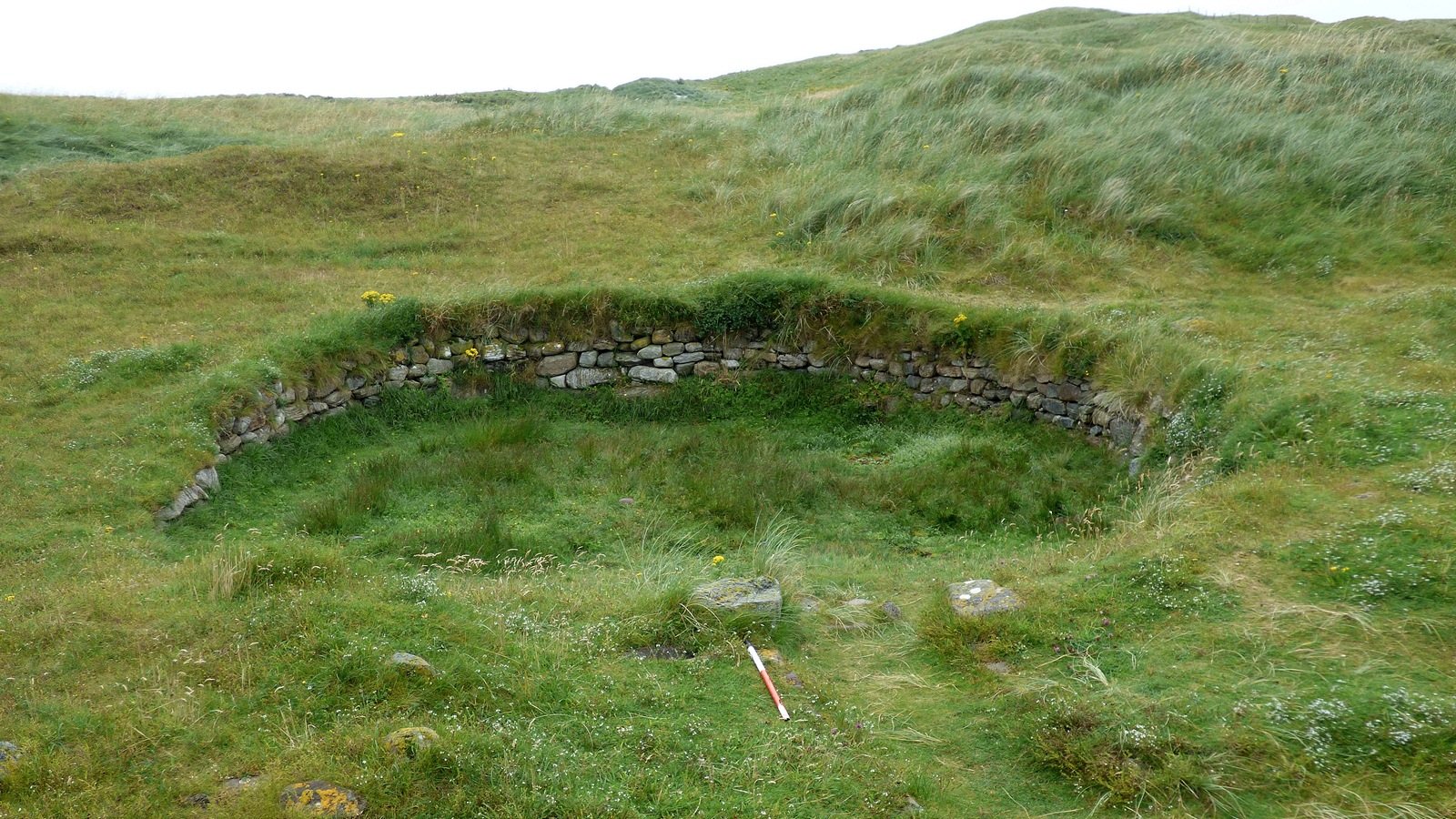
Photo Sandy Gerrard, CC BY-SA 2.0 13South UistBritain's only prehistoric mummies came out of a South Uist field
Excavations at Cladh Hallan, near Daliburgh, ran from 1988 to 2002 and uncovered a row of three Bronze Age roundhouses built around 1080 to 1020 BC. Beneath the floors were four burials that turned out to be something never found elsewhere in Britain: deliberately mummified bodies. The bodies had been placed in a peat bog long enough to preserve them, then brought back out and buried under the houses, where they may have stayed above ground for generations first. Analysis later showed the skeletons were assembled from the bones of more than one person. It is the only place in Great Britain where prehistoric mummies have been found.Source: Wikipedia: Cladh Hallan https://en.wikipedia.org/wiki/Cladh_Hallan Wikipedia: South Uist
-
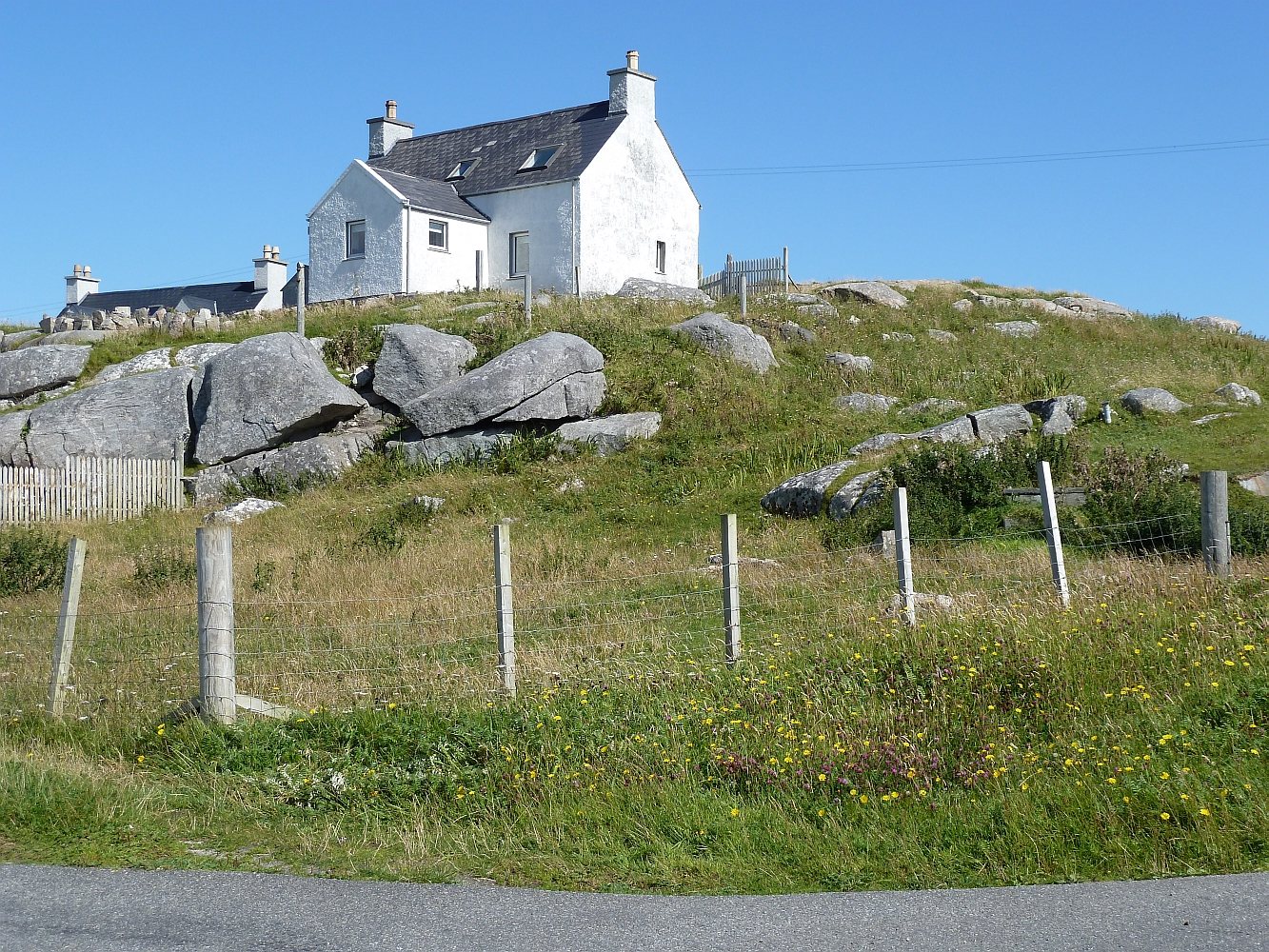
Photo Rob Farrow, CC BY-SA 2.0 14EriskayEriskay's first road was paid for by a film premiere
In 1934 the German ethnographer Werner Kissling filmed daily life on Eriskay: fishing, waulking the tweed, the church. The film, Eriskay, A Poem of Remote Lives, was the first to record spoken Scottish Gaelic. The proceeds from its first showing in London were used in 1935 to build Eriskay's first major road, running from the old pier at Na Hann in the north to the harbour at Acairseid in the south. In the 1830s and 40s the island had held just three families, fewer than thirty people; today about 160 live there.Source: Wikipedia: Eriskay
-
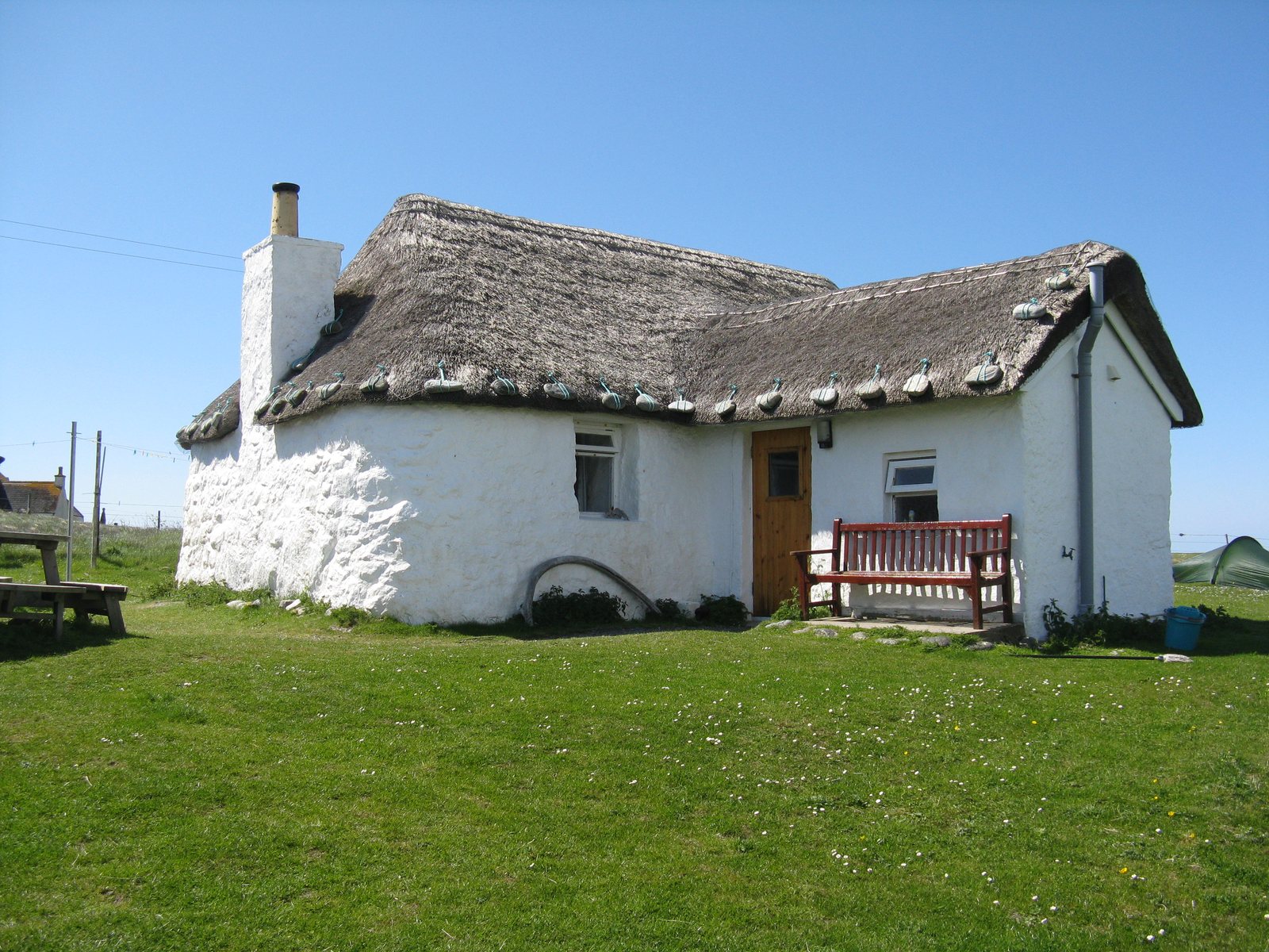
Photo M J Richardson, CC BY-SA 2.0 15South UistHowmore has one of Scotland's biggest clusters of thatched houses
Tobha Mòr, Howmore, on the west side of South Uist, is a township of thatched houses, one of the largest such collections in Scotland, with a hostel in one of them. Beside it are the ruins of Teampull Mòr, St Mary's, and the other chapels of a medieval religious site said to have housed a college of learning; ancestors of the poet Alasdair mac Mhaighstir Alasdair and his cousin Flora MacDonald are buried there. The Church of Scotland church of 1858 is one of the few in Scotland arranged with a central communion table.Source: Wikipedia: Howmore
-
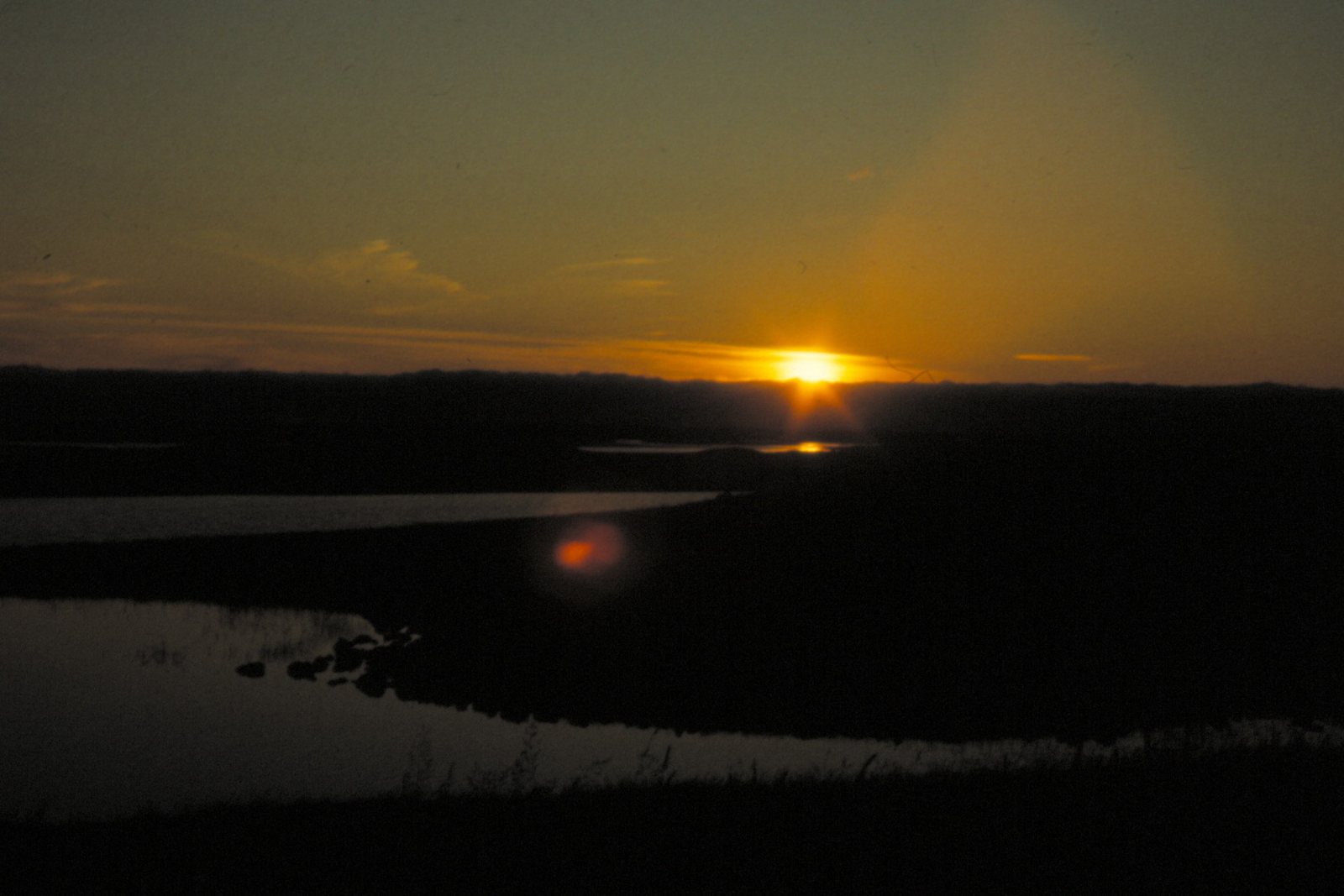
Photo Helmut Zozmann, CC BY-SA 2.0 16South UistLoch Bì nearly cuts South Uist in two
Loch Bì, or Loch Bee, is the largest loch on South Uist and one of the largest in the Outer Hebrides. Dean Monro, writing in the sixteenth century, described the island's 'infinite number of fresh water loches'. Loch Bì is the one that matters: at eight kilometres long it all but cuts South Uist in two. The A865 crosses it on a causeway. The first was built in the seventeenth century; the one you drive over today was completed in 1990.Source: Wikipedia: Loch Bee https://en.wikipedia.org/wiki/Loch_Bee Wikipedia: Uist
-
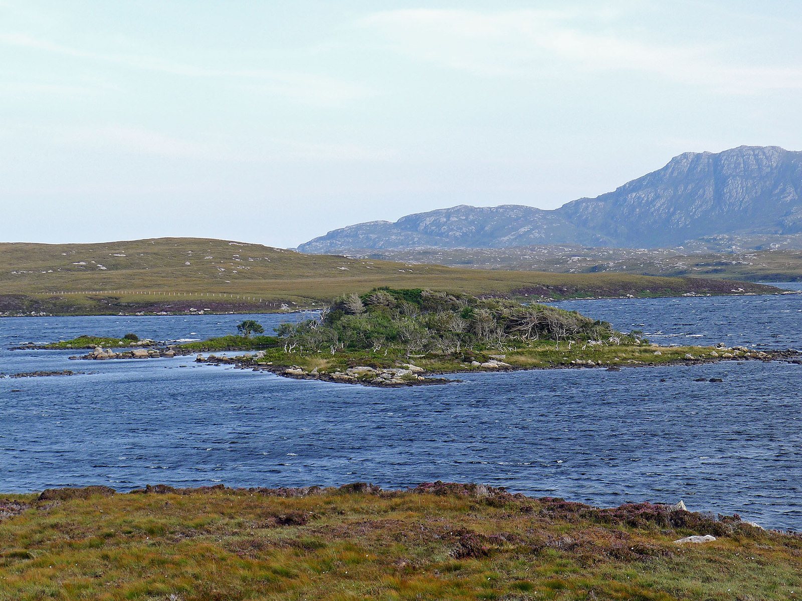
Photo Julian Paren, CC BY-SA 2.0 17South UistLoch Druidibeg was a UNESCO biosphere reserve for 37 years
Loch Druidibeag, north-east of Howmore, runs from lime-rich machair grassland through the loch to acid moorland, a cross-section of everything the west side of South Uist has. It was designated a UNESCO biosphere reserve in 1976 and a National Nature Reserve. The reserve status was de-declared in 2012 and the biosphere title withdrawn in 2013, as the schemes were reorganised; the loch remains a Site of Special Scientific Interest and a Ramsar wetland. It is an important breeding site for native greylag geese and a sanctuary for the corncrake, a bird now almost confined in Britain to the Western Isles.Source: Wikipedia: Loch Druidibeg https://en.wikipedia.org/wiki/Loch_Druidibeg Wikipedia: Howmore
-
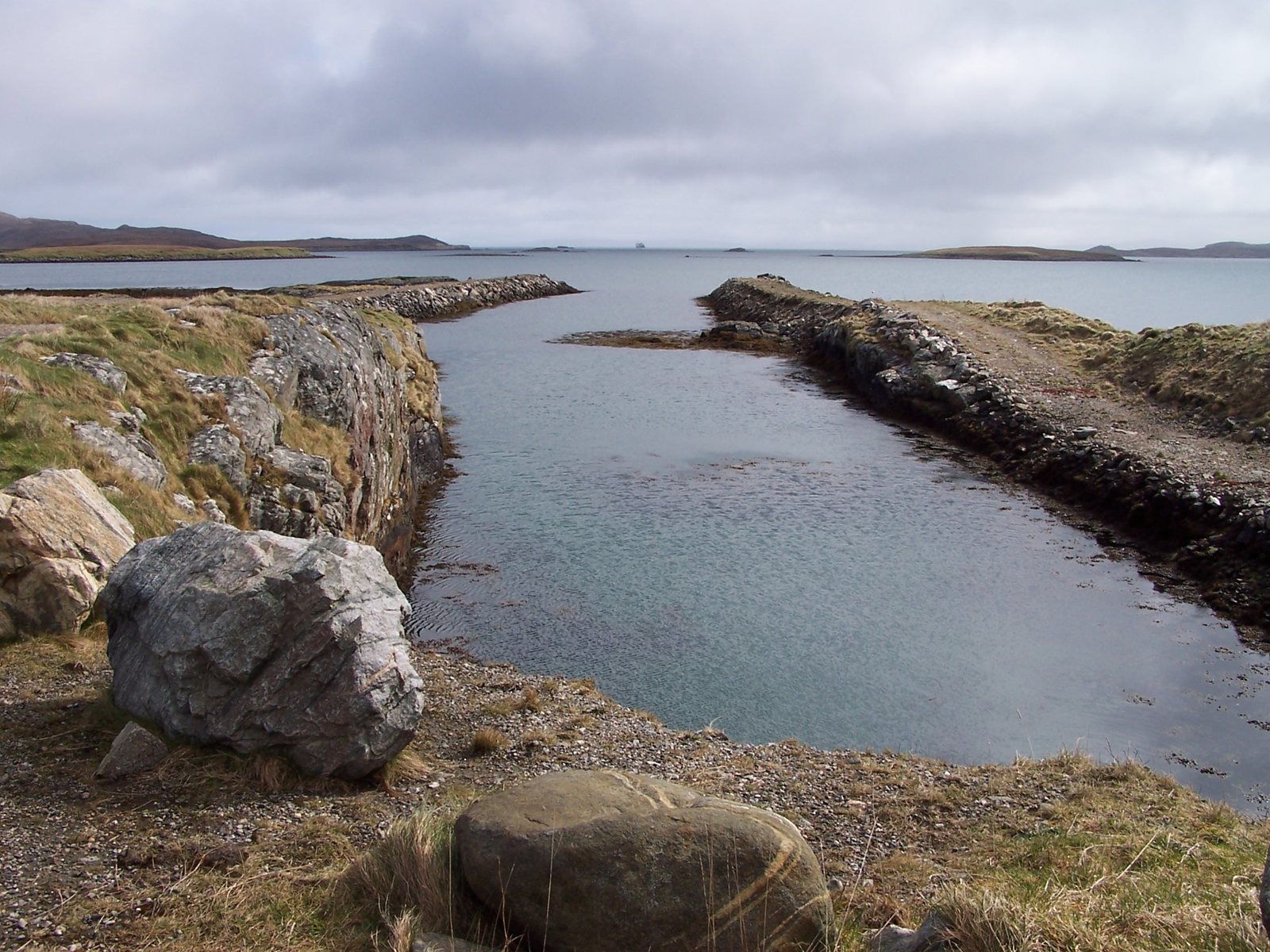
Photo John Tustin, CC BY-SA 2.0 18North UistLochmaddy's first mention in the record is a complaint about pirates
Lochmaddy, Loch nam Madadh, takes its name from the dog-shaped rocks at the mouth of the sea loch. It is the only settlement of any size on North Uist's rocky east coast. Virtually the first time it appears in any record is a complaint dated 1616: 'Lochmaldie on the coast of Uist is a rendezvous for pirates'. Under King Charles it was the site of a Royal Fishing Station. Today it has the island's only bank, courthouse and youth hostel.Source: Wikipedia: Lochmaddy
-
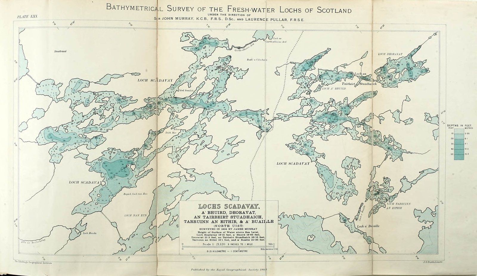
Photo Map prepared by: John George Bartholomew, public domain 19North UistNo loch in Britain has a more complicated shoreline than Loch Sgadabhagh
Much of North Uist is water. Its lochs are so numerous and so tangled that some of them mix fresh water with tidal salt water, creating habitats found almost nowhere else. Loch Sgadabhagh, beside the Lochmaddy road, is the largest by area, and its shoreline is famously impossible to follow: 'there is probably no other loch in Britain which approaches Loch Scadavay in irregularity and complexity of outline'. Loch Obisary, further south, holds about twice the volume of water.Source: Wikipedia: North Uist
-
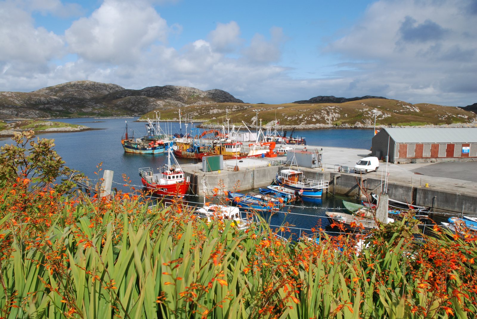
Photo Robert W Watt, CC BY-SA 2.0 20GrimsayOne Grimsay family built a thousand boats
Grimsay's harbour at Kallin is the base for a shellfish industry that sends lobster, prawns and scallops off the islands. It was also home to one of the great small-boat yards of the Hebrides: three generations of Stewarts built up to a thousand boats from three sheds on the island. The Boatshed at Kallin, a marine repair facility, now keeps the traditional skills going with a full-time boatbuilder and a trainee, and restored the last mailboat of the Monach Isles. The island's neighbour Ronay, a mile to the east, was inhabited until 1931.Source: Wikipedia: Grimsay https://en.wikipedia.org/wiki/Grimsay Wikipedia: Ronay
-
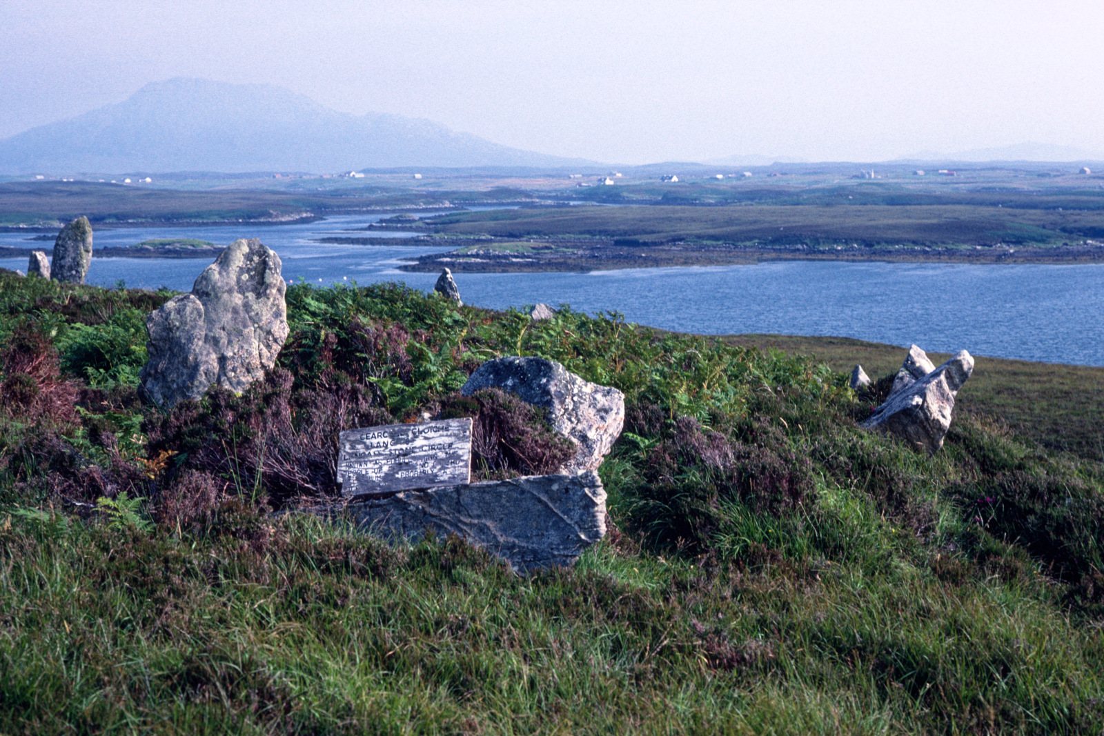
Photo Julian Paren, CC BY-SA 2.0 21North UistPobull Fhinn is Fionn's tent
Pobull Fhinn stands on the slope above Loch Langais, near the chambered cairn of Barpa Langais. The stones are named for Fionn mac Cumhaill, the giant hero of the Fenian cycle, Fingal to the English. The name is usually read as Fionn's people, but it may be a modern rationalisation of an older phrase, Pùball Fhinn, Fionn's tent, the wandering hero's camp. With Eabhal and Loch Euphort behind it, it is one of the most photographed places on the island.Source: Wikipedia: Pobull Fhinn https://en.wikipedia.org/wiki/Pobull_Fhinn Wikipedia: Barpa Langass
-
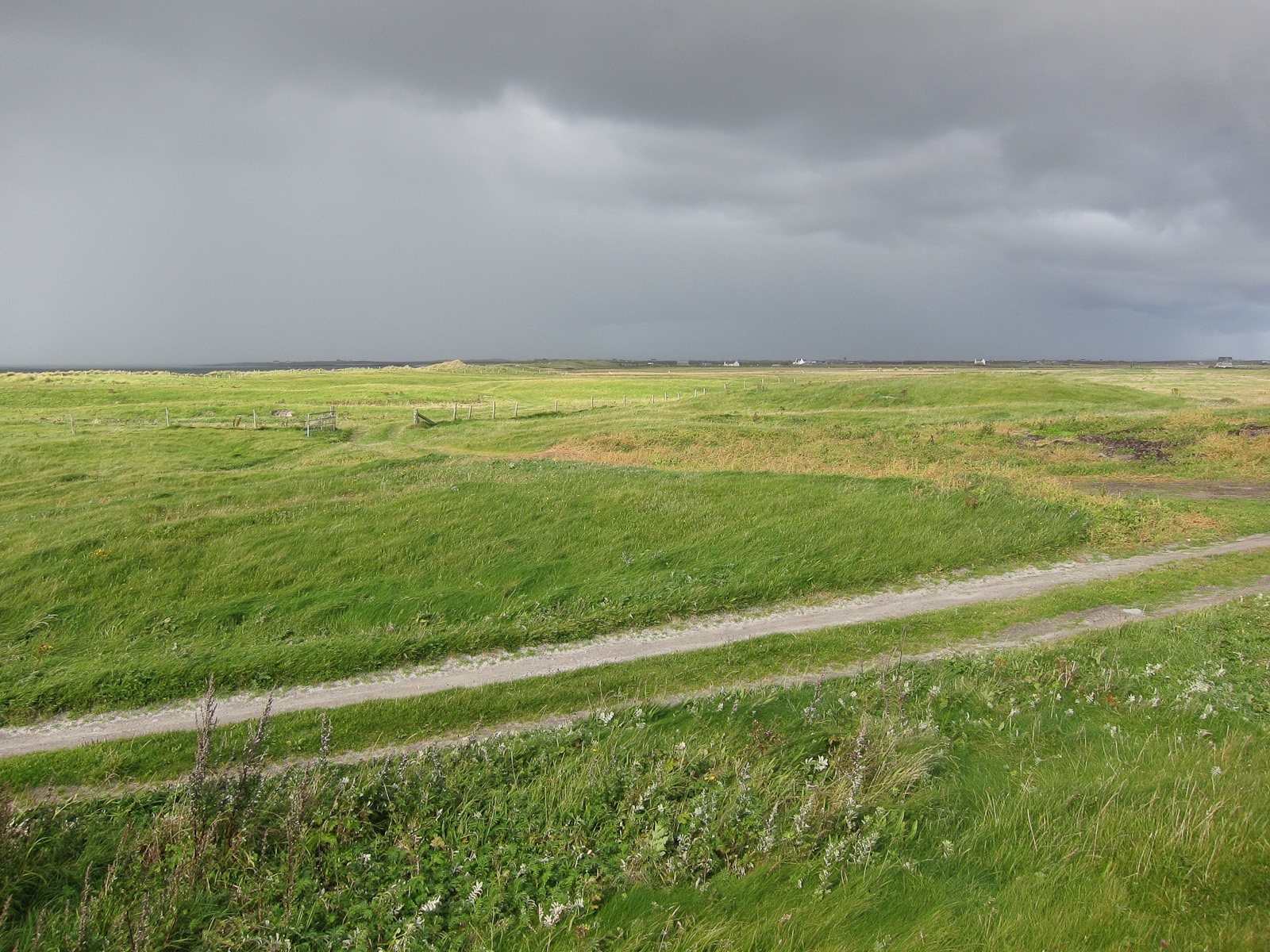
Photo Hugh Venables, CC BY-SA 2.0 22South UistSouth Uist is the largest community-owned estate in Scotland
The South Uist Estate covers 93,000 acres, about 38,000 hectares, across South Uist, Eriskay and part of Benbecula. In 2006 it was bought by the community that lives on it, the largest community land buyout in Scotland's history. The estate is now run by Stòras Uibhist, which owns everything from the crofting townships to Lochboisdale harbour and the Askernish golf course.Source: Wikipedia: Iochdar
-
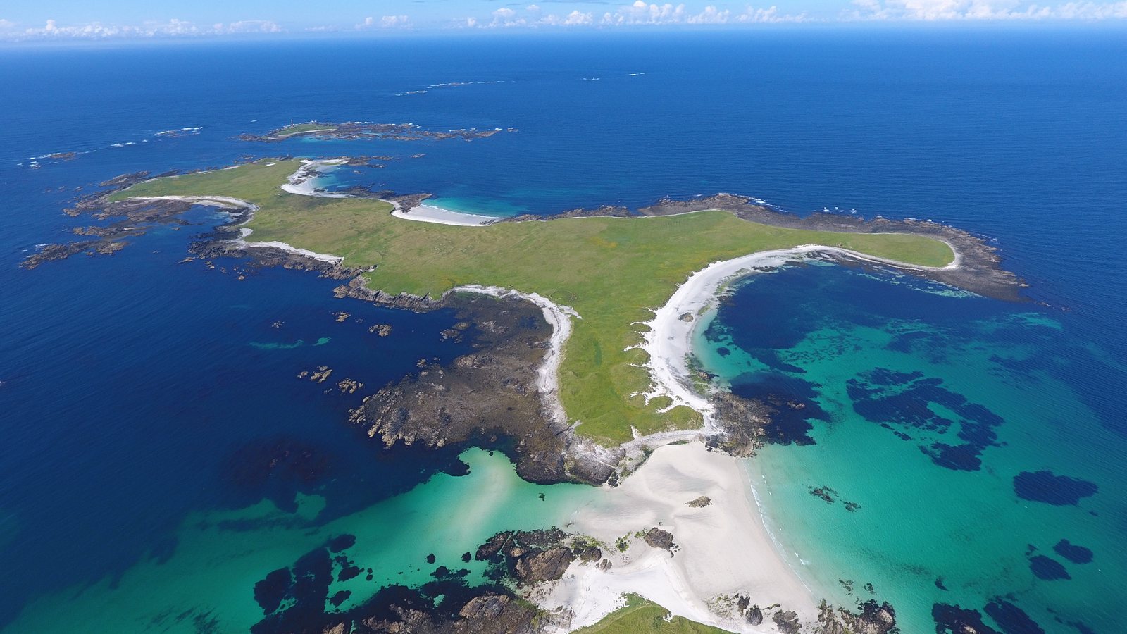
Photo Conor Lawless from North Uist, United Ki, CC BY 2.0 23North UistTen thousand grey seals come ashore on the Monach Isles each autumn
The Monach Isles, or Heisgeir, lie eight miles west of North Uist. Up to 140 people lived there in 1891; the last family left in 1942. The islands are now a National Nature Reserve, and each autumn about 10,000 grey seals come ashore to give birth and mate, one of the largest such colonies anywhere in the world. The islanders' last mailboat, a 28-foot open boat built around 1932, lay unused at Lochmaddy for decades before it was rescued and restored at the Grimsay boatshed.Source: Wikipedia: Monach Islands
-
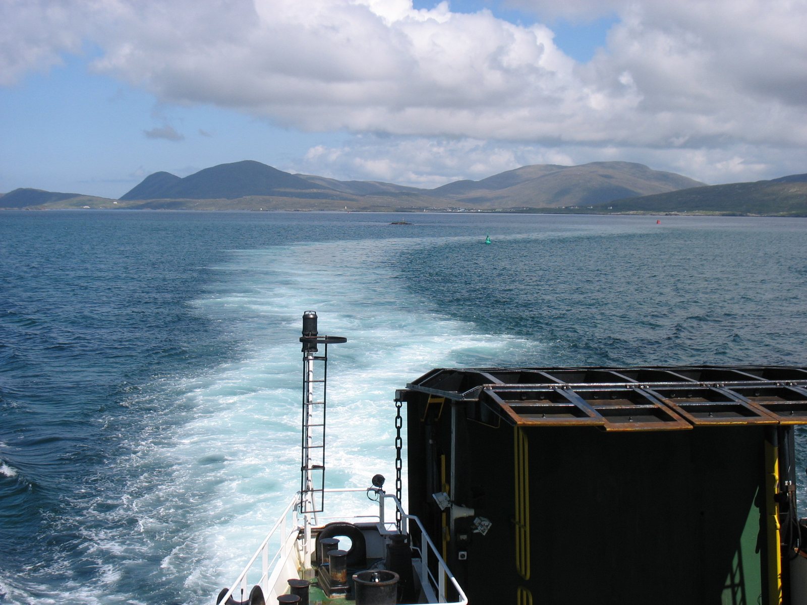
Photo David Purchase, CC BY-SA 2.0 24BernerayThe Berneray ferry may only sail if it can see the next two buoys
The Sound of Harris separates North Uist and Berneray from Harris, and it is one of the most awkward stretches of water on the west coast: dozens of islands and skerries, including Pabbay, Ensay and Killegray, and shallow tidal channels between them. A vehicle ferry has linked Berneray with Leverburgh since 1996. The marked route winds between the reefs, and the Maritime and Coastguard Agency requires that the vessel only proceed if the next two marker buoys are visible.Source: Wikipedia: Sound of Harris
-
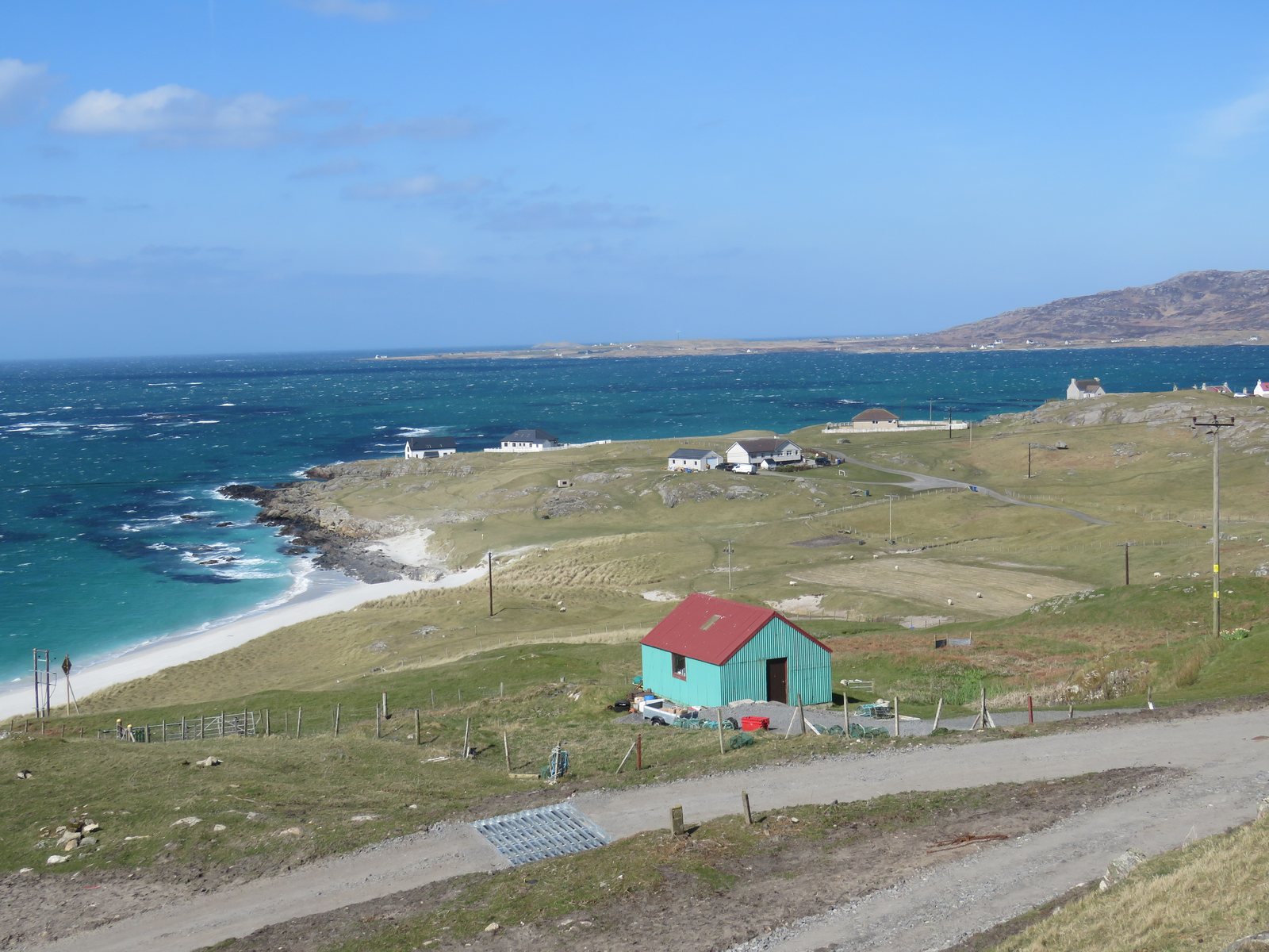
Photo Lesbardd, CC BY-SA 4.0 25EriskayThe Eriskay Love Lilt was collected on the island in 1905
Marjory Kennedy-Fraser came to Eriskay in 1905 to collect songs, guided by the island's priest, Father Allan MacDonald, himself a Gaelic poet. Among the songs she took down was the lament for unrequited love Gràdh Geal Mo Chridhe, bright love of my heart. She arranged it as an art song with an English verse and a Gaelic chorus, and published it in the first volume of Songs of the Hebrides in 1909 as the Eriskay Love Lilt. It has been recorded by everyone from Paul Robeson to Judith Durham.Source: Wikipedia: Eriskay Love Lilt
-
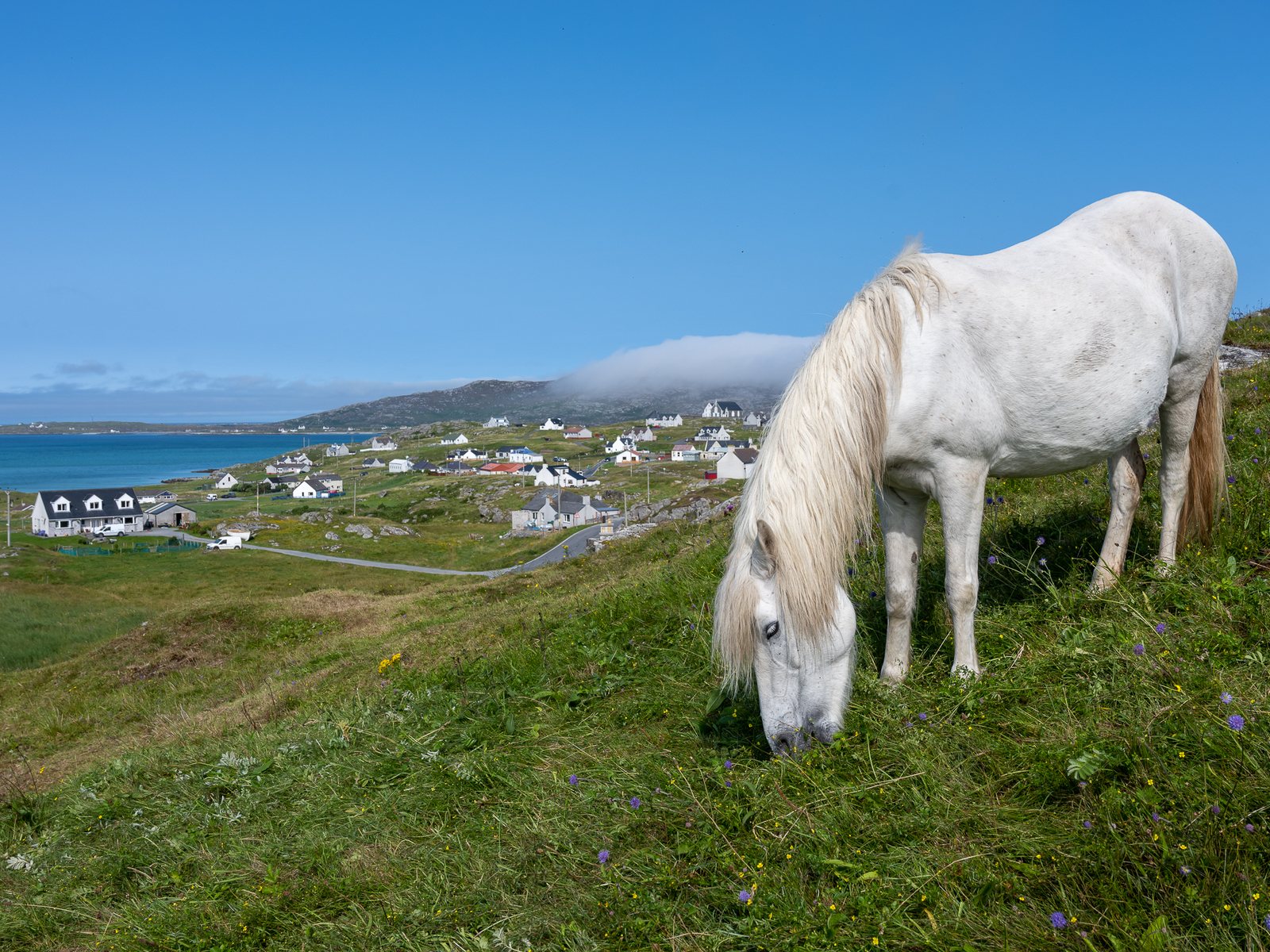
Photo Thomas Andy Branson, CC BY-SA 4.0 26EriskayThe Eriskay pony carried the whisky, and is now rarer than the giant panda
The Eriskay pony, Each Beag nan Eilean, is a small grey Hebridean pony with roots in Celtic and Norse breeding. It may be the last surviving native Hebridean pony breed; most others were crossed with Arabs and Clydesdales to make bigger draught animals. In 1941 the ponies carried away the cargo of the wrecked SS Politician. By the 1970s the breed was almost gone, and its society was formed in 1972 with King Charles III as patron. The Rare Breeds Survival Trust classes it as critical: fewer than 300 breeding females registered worldwide.Source: Wikipedia: Eriskay Pony
-
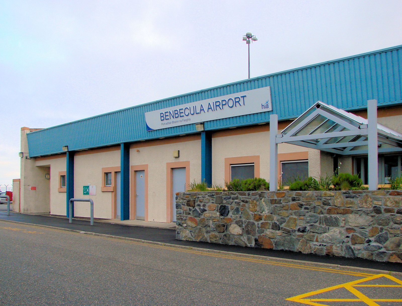
Photo Ivanbalich, CC BY-SA 3.0 27BenbeculaThe Home Guard was ordered to recapture Benbecula airport from imaginary Germans
Benbecula's airfield was built in the war and is still used for air ambulance flights and the missile range as well as the Glasgow service. During the war, the Gaelic war poet Dòmhnall Ruadh Chorùna, who had fought at the Somme, served in the Home Guard. He composed Òran a' Home Guard, The Song of the Home Guard, which pokes fun at an exercise in which a platoon from North Uist was ordered to recapture the airfield from the invading Germans. He had gone to school at Carinish and wrote a song about that too.Source: Wikipedia: Benbecula Airport https://en.wikipedia.org/wiki/Benbecula_Airport Wikipedia: Carinish
-
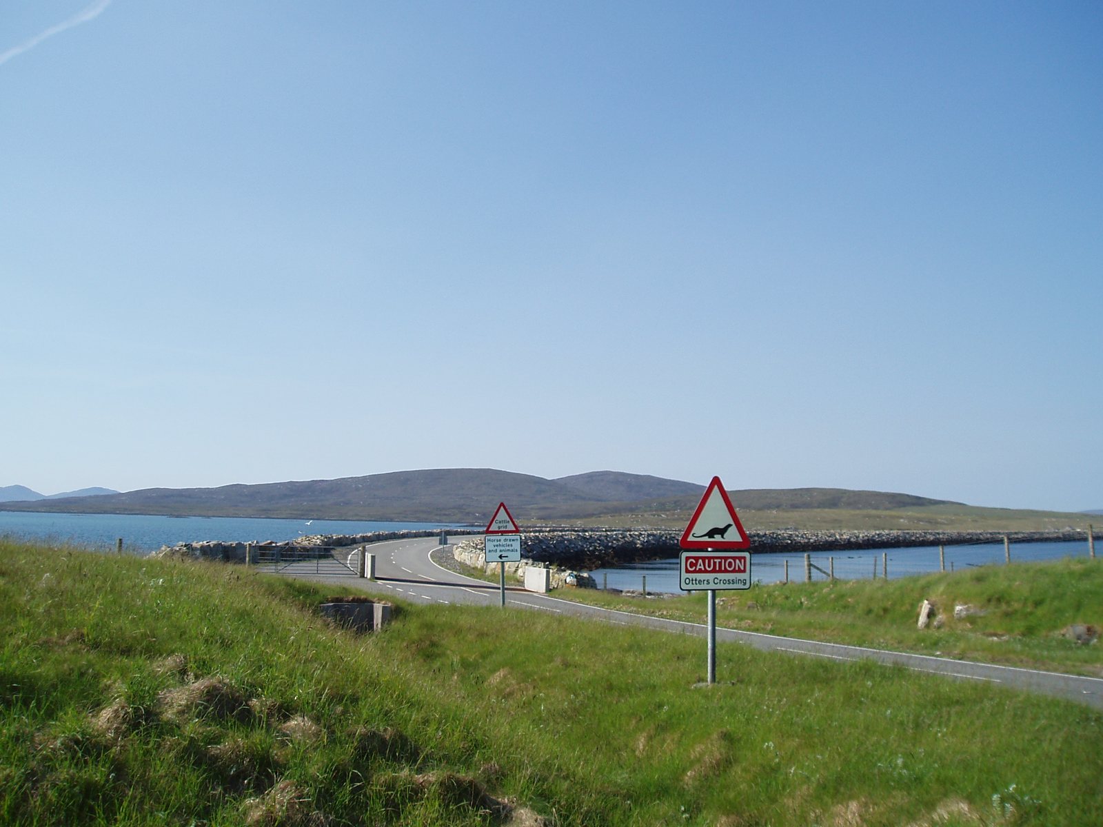
Photo hazelisles, CC BY-SA 2.0 28BernerayThe King spent a week on Berneray as an anonymous crofter
Berneray made world news in 1987 when it emerged that Charles, Prince of Wales, had spent time on the island living the life of a crofter with a local family, planting potatoes, dipping sheep and going out with the fishing boats, largely unrecognised. He returned in April 1999 to formally open the Berneray causeway, the first of the modern causeways that now join the islands, which had made the Otternish ferry redundant the previous December. -
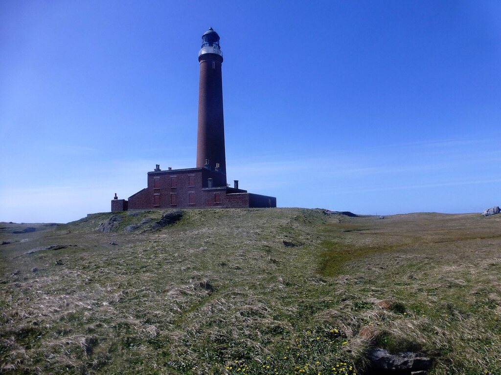
Photo Adam Kerr, CC BY-SA 2.0 29North UistThe Monach lighthouse was replaced, then un-replaced
Monach Lighthouse on Shillay was built in 1864 by David and Thomas Stevenson, the lighthouse-building family of Robert Louis Stevenson. It was closed in 1942 when the islands were abandoned. After the tanker Braer ran aground in Shetland in 1993, a small new light was put up on the island in 1997 with a range of ten nautical miles. When eighteen miles was judged necessary, the new light was shut down in 2008 and the old tower was recommissioned with a modern optic. It is still working.Source: Wikipedia: Monach Islands
-
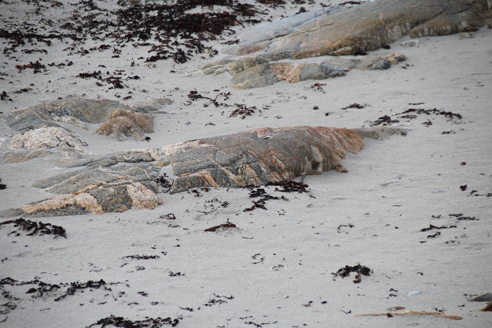
Photo GerritR, CC BY-SA 4.0 30North UistThe ground under your feet is the oldest in Britain
Uist, like the rest of the Western Isles, is built on Lewisian gneiss, a banded grey and pink rock that formed between three and 1.7 billion years ago, deep in the Earth's crust, long before complex life reached land. It is the oldest rock in the UK. The Natural History Museum in London wanted a piece for the evolution timeline in its new gardens, so in 2024 its scientists flew to the Outer Hebrides, landed on a beach, and chose a six-tonne boulder that 'glows with colour when wet'. Every beach in Uist has smaller ones for free. -
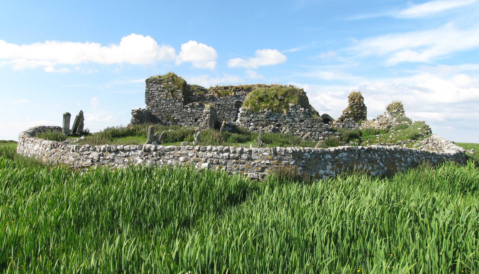
Photo Zenit, CC BY-SA 3.0 31North UistThe last battle fought with bows and arrows in Britain was at Carinish
In 1601 a raiding party of MacLeods from Harris came south to Carinish and met a smaller force of MacDonalds. The fight beside Teampull na Trionaid is said to have been the last engagement in the British Isles fought with bows and arrows, though a claim is sometimes made for a skirmish in England in 1642. The ruined church beside the battlefield has its own legend: Bill Lawson records that it was said in its early days to have been a college of learning, 'even that it was the first university'. -
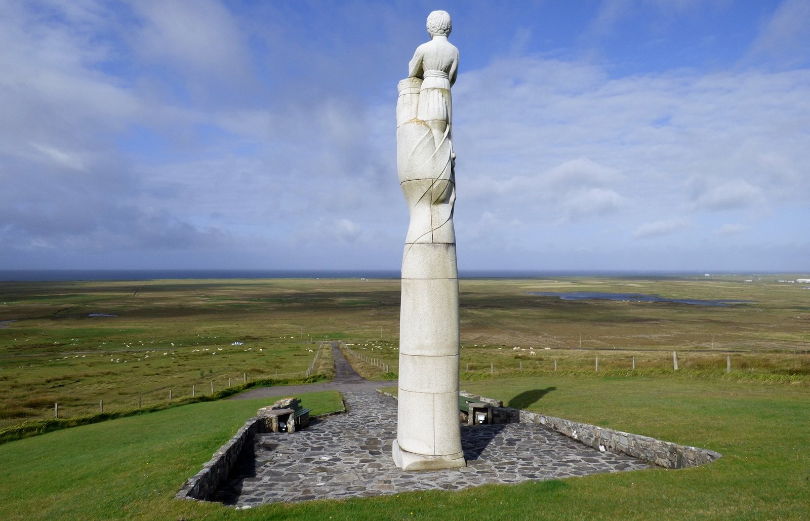
Photo Sandy Gerrard, CC BY-SA 2.0 32South UistThe statue on Rueval was the islands' answer to the rocket range
On the hillside of Rueval in the north of South Uist stands a nine-metre granite statue of the Madonna and Child by the sculptor Hew Lorimer, Our Lady of the Isles, Bana Thighearna nan Eilean. It was commissioned after the Ministry of Defence proposed a large missile testing range for the island in the 1950s. The range was built anyway, and still fires from the machair to the north-west, but so was the statue. Marcus Tanner wrote that she is one of the only visible signs to a visitor that South Uist, unlike the Presbyterian north, stayed Catholic. -
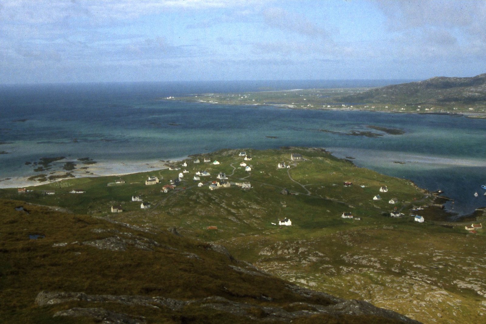
Photo Colin Park, CC BY-SA 2.0 33EriskayThe whisky ship was also carrying three million pounds in banknotes
When the SS Politician hit rocks in the Sound of Eriskay in February 1941, her fifth hold carried 22,000 cases of whisky, 264,000 bottles, bound for America to earn dollars for the war effort. Beside them were eight crates of Jamaican banknotes worth three million pounds. None of the whisky bore an excise stamp, which is why Customs pursued the islanders who rowed out night after night to empty the hold. Many were acquitted; nineteen were jailed at Inverness for between twenty days and two months. The story became Whisky Galore, and the stern of the ship still lies at the bottom of Eriskay Sound.Source: Wikipedia: SS Politician
-
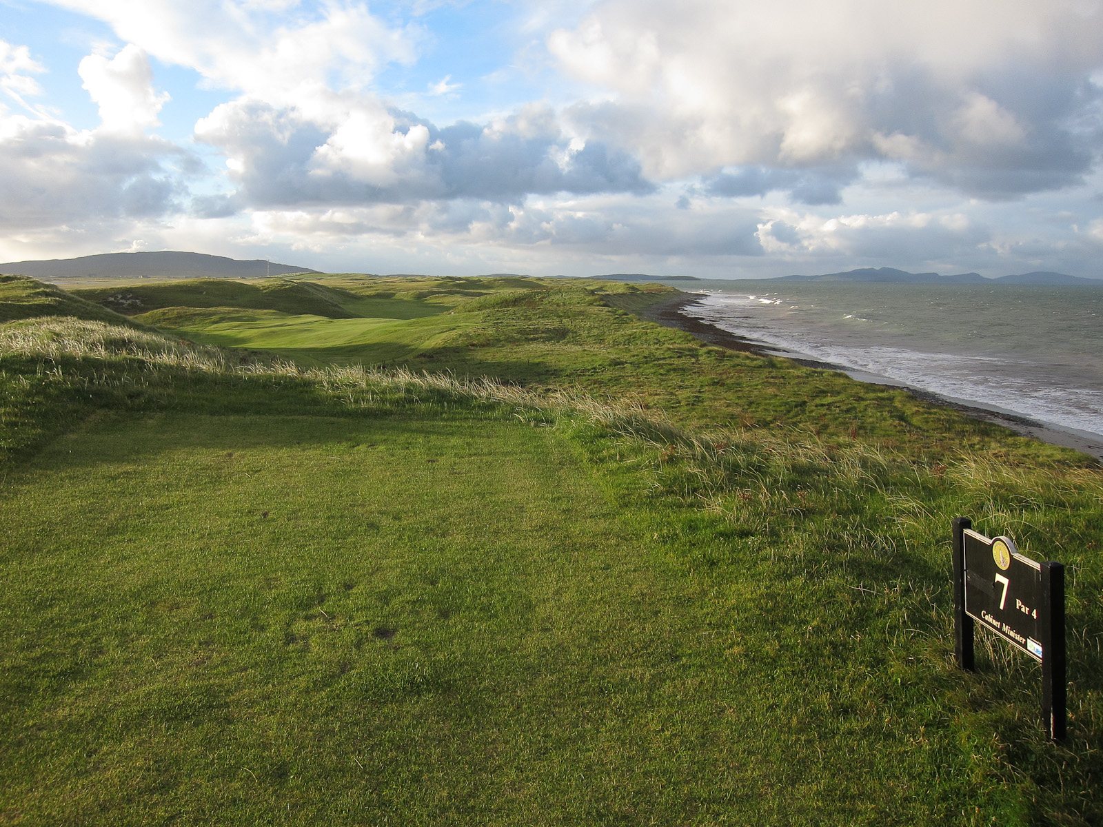
Photo Hugh Venables, CC BY-SA 2.0 34South UistThere is an Old Tom Morris golf course on the South Uist machair
Askernish, on the west coast of South Uist north of Daliburgh, has a links course designed by Old Tom Morris, the St Andrews greenkeeper and four-times Open champion who laid out courses across Scotland in the nineteenth century. The original course fell out of use and was largely forgotten under the grazing. It was rediscovered and restored in the 2000s, and the club now plays it much as Morris routed it, with the beach in view from most of the holes.Source: Wikipedia: Askernish https://en.wikipedia.org/wiki/Askernish Askernish Golf Club
-
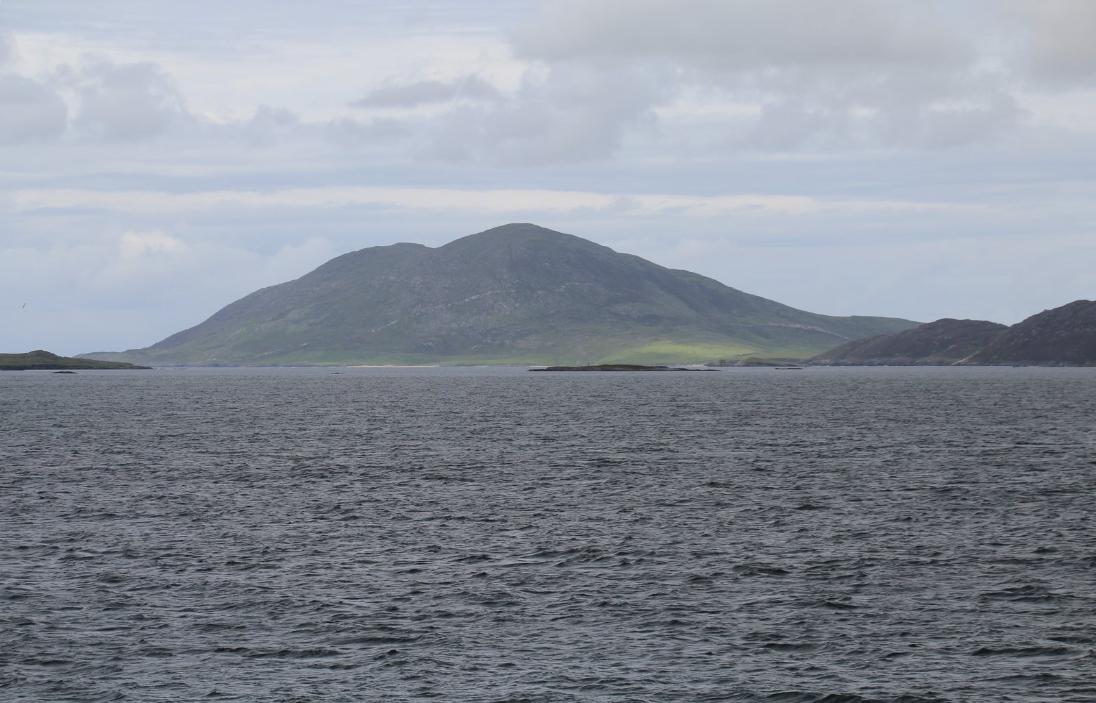
Photo GerritR, CC BY-SA 4.0 35North UistUist was Norwegian until it was sold for 4,000 marks
Viking settlers established the Kingdom of the Isles across the Hebrides in the ninth century, and Norwegian control was formalised in 1098 when Edgar of Scotland signed the islands over to Magnus III of Norway. They were the Suðreyjar, the Southern Isles. On 2 July 1266 Magnus the Lawmender and Alexander III signed the Treaty of Perth, transferring the Hebrides and Man to Scotland for 4,000 marks. Norse survives in almost every place name on Uist, from Lochmaddy's Maddies to Eriskay itself, Eric's isle.Source: Wikipedia: Treaty of Perth https://en.wikipedia.org/wiki/Treaty_of_Perth Wikipedia: North Uist