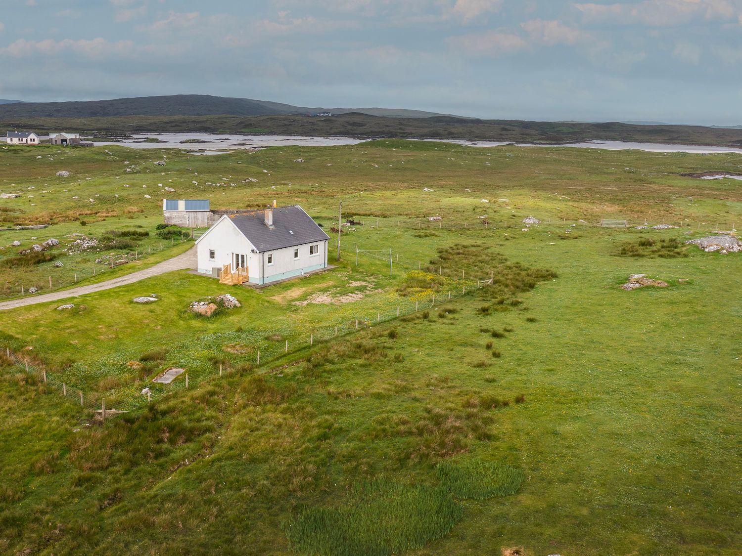
Slighe Innse Gall
Hebridean Way
Ten islands, six causeways and two ferries from Vatersay to Lewis. On Uist the route threads Eriskay, South Uist, Benbecula, Grimsay, North Uist and Berneray — use the map to plan overnight stops and ferry hops.
Interactive map
Route line, ferry hops and overnight hubs. Scroll to zoom once the map is focused.
Route geometry © OpenStreetMap contributors (ODbL). Not a turn-by-turn navigator — carry OS maps / GPX for the trail.
On the Uist stretch
Roughly Eriskay to Berneray — flatter than Harris, with machair, causeways and long Atlantic beaches a short detour west.
Ferries & weather
Live CalMac status and conditions on Today.
Uist accommodation
Beds, bunkhouses and camps along the chain — or pick North Uist or South Uist.
Beaches & walks
Detours worth the extra miles.
Timetables
Buses and ferries for rest days and bail-outs.
Official guides
Visit Outer Hebrides publishes the waymarked walking and cycling routes, diversions and pit stops. This map is for planning on Uist — follow their signage on the ground.