Fact · North Uist
Baleshare's highest point is twelve metres above the sea
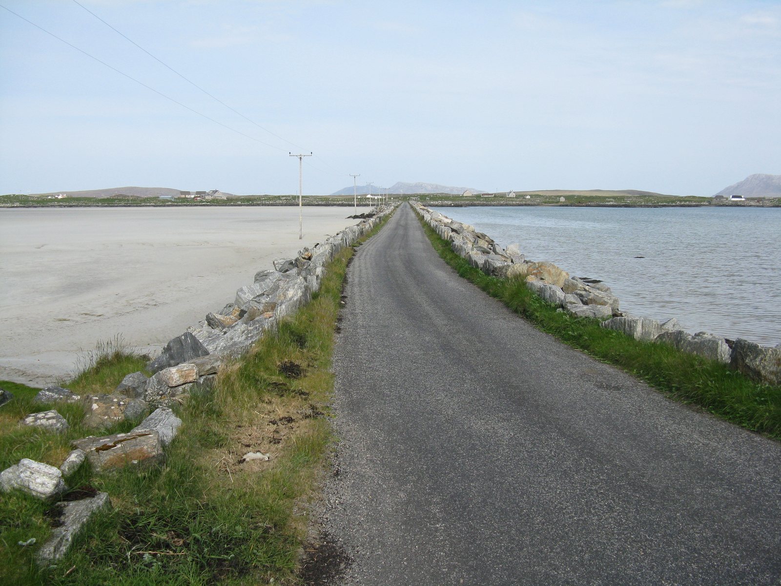
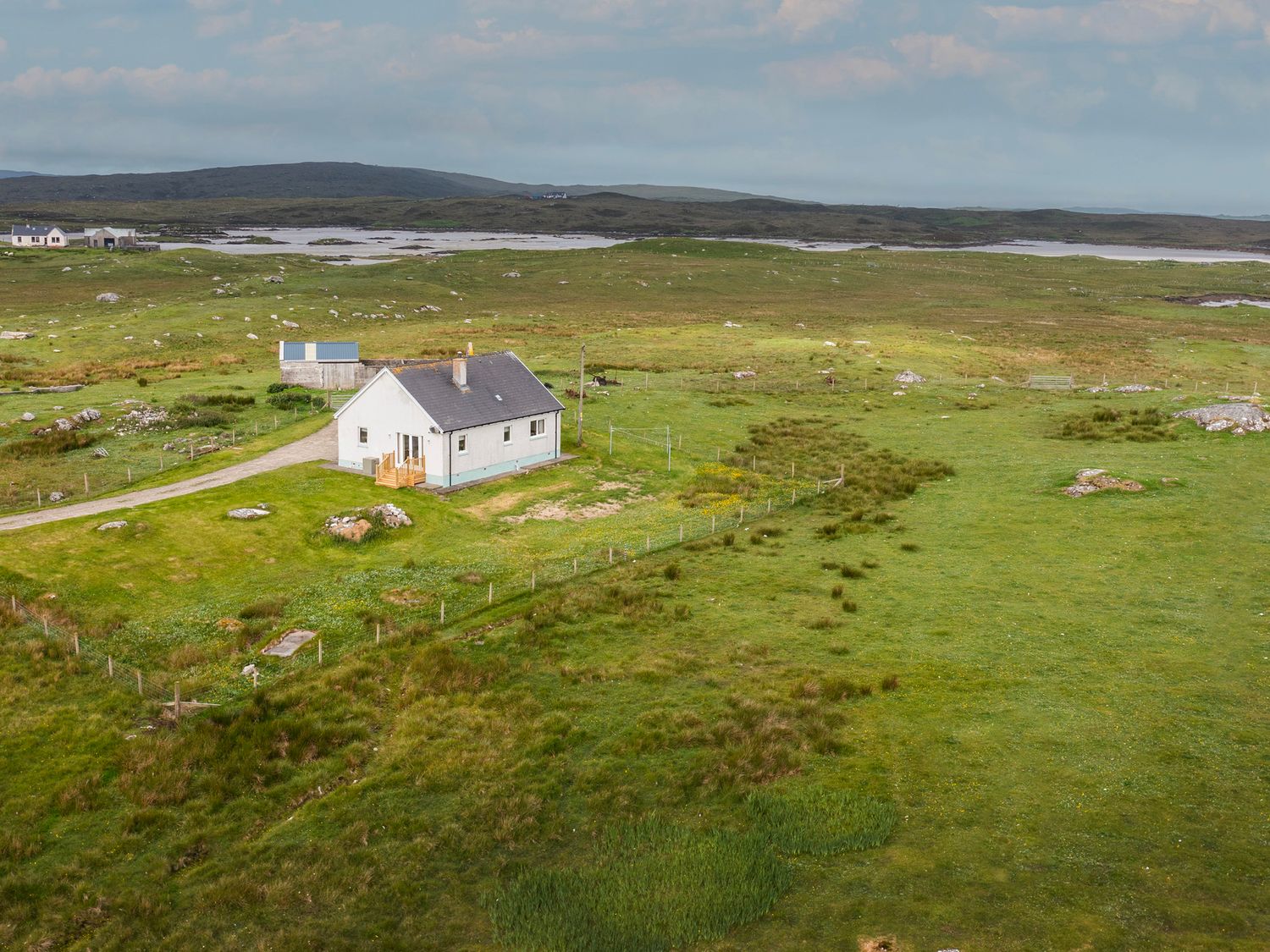
Baleshare, the flat island off North Uist's west coast, rises to just twelve metres above sea level. Its causeway, 350 metres long, was built in 1962, and the island's name means east township because its western half was lost to the sea.
Baleshare, Baile Sear, is a tidal island west of North Uist, extremely flat even by Hebridean standards: its highest point is twelve metres. Its long sandy beach faces the Atlantic. A 350-metre causeway built by William Tawse Ltd in 1962 joined it to North Uist and revived the community. The name means 'east township'. The west township, Baile Siar, is said to have been swallowed by the sea, and the same storms that took it are said to have washed away a route across the sands to the Monach Isles.
Sources / notes: Wikipedia: Baleshare https://en.wikipedia.org/wiki/Baleshare Wikipedia: Monach Islands https://en.wikipedia.org/wiki/Monach_Islands